System Purpose
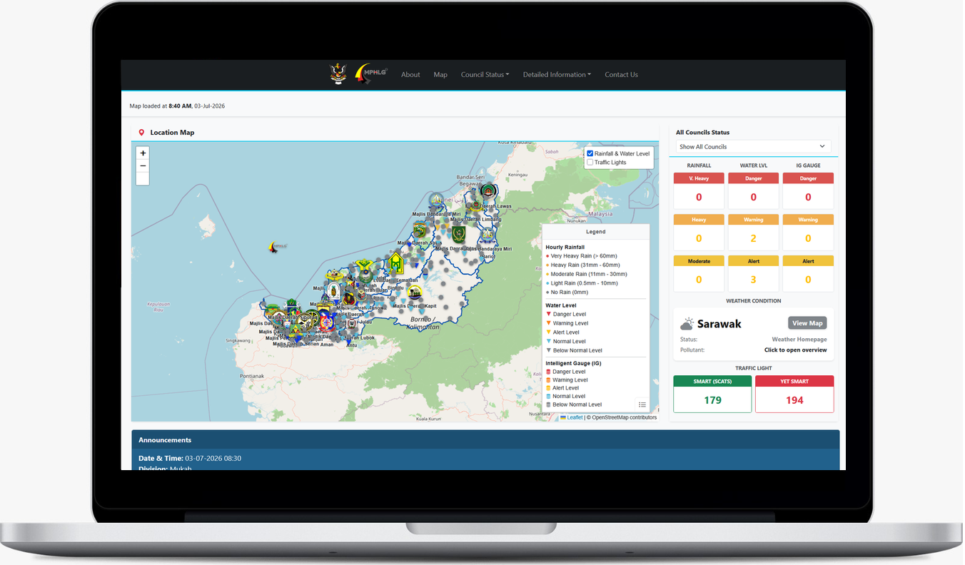
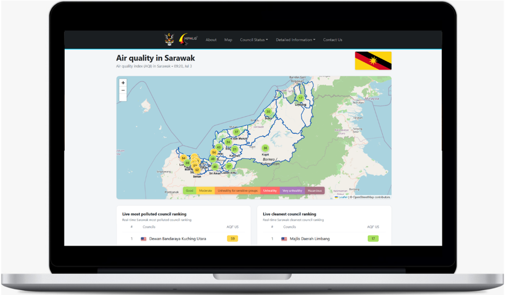
The MPHLG Dashboard is an online telemetry system developed to support local councils by centralizing real-time flood, weather, and municipal data. The system ensures comprehensive coverage by gathering live hydrological readings from IHydro, weather forecasts and air quality data from Open-Meteo, as well as status updates from local traffic light networks.
Real-Time Council Monitoring
The dashboard displays live rainfall, water levels, and traffic light status using interactive maps and analytical charts. By utilizing this system, local authorities will be able to monitor and assess severe conditions at an early stage. This will help councils to smoothly coordinate essential preparations, manage traffic flow efficiently, and minimize property damage.
How to Access the Dashboard
The MPHLG Dashboard is accessible via website https://mphlgsystem.cc. The application is user-friendly for both council personnel and the public. The user will be able to know the rainfall condition at their area, identifying whether they are experiencing light, moderate, heavy, or very heavy rainfall. They will also be able to know the current river condition, checking whether the water level has reached alert, warning, or danger levels, as well as tracking the status of local traffic lights.